About Us
Introduction
Team Members
Data Service
Interactive Charts
Past Climate Change
Projection
Rainfall Frequency Analysis
Atlas
Data Overview
Data Store
Tools
ARK
Workshop
Publishes
Scientific Report
Book
Poster
Slide
Team Article
Media
Videos
Podcast
Links
中文
Data Service / Data Overview
No weather stations are needed, even remote mountainous forests are covered
Top-ranked in data download volume
A valuable tool for mountain area research
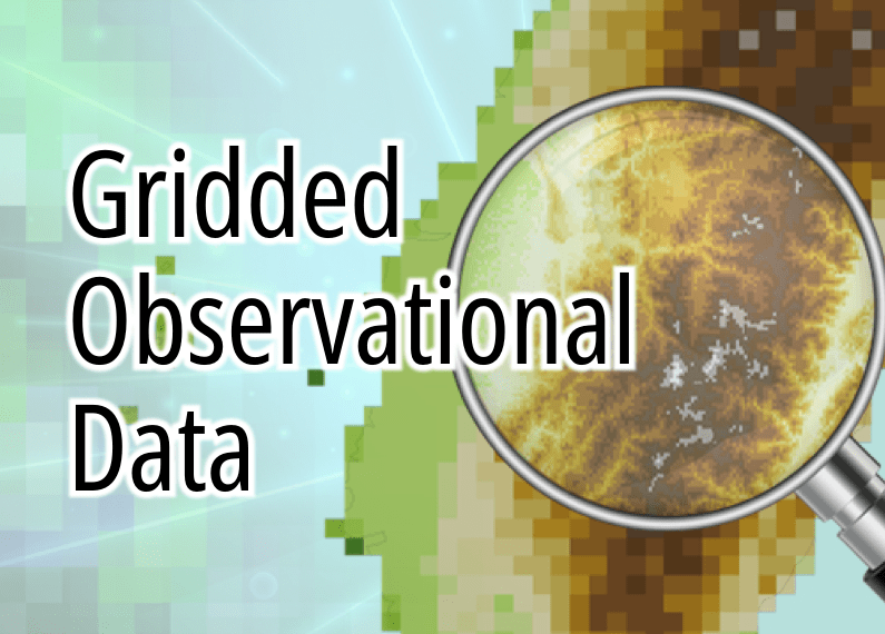
Gridded observational data can provide a long-term set of station data without data gaps. Through the gridding of station data (using statistical mathematical methods to perform spatial interpolation, extending point-based station data into complete areal data), high spatial resolution and comprehensive spatial distribution data can be obtained.
The most diverse set of data variables, including visible humidity and wind speed
The widest variety of data variables
A reliable tool for data gap filling
During the simulation process of atmospheric circulation models, various types of observational data are assimilated to simulate and reconstruct past weather conditions. The resulting simulated data are referred to as reanalysis data. In areas without observation stations, or for meteorological variables that were not observed, past weather data can be obtained through reanalysis data to reconstruct missing historical records.
Read more
Global model downscaling for future climate projections
The most diverse set of projection models
A valuable tool for future projections
Statistical downscaling data are aligned with international climate projection datasets. By referencing historical data from gridded observational datasets and applying statistical methods to enhance spatial resolution, the data are consistent with the characteristics of historical meteorological records. At the same time, they provide projections from multiple climate models, making climate projection research more comprehensive and robust.
Hourly data for hundreds of typhoon-induced heavy rainfall events are provided
The highest data resolution
A valuable tool for extreme rainfall research
The team used high-resolution HiRAM and MRI models, conducting simulations under the IPCC AR5 RCP8.5 scenario combined with four different sea surface temperature scenarios. Typhoon events affecting Taiwan were then selected to simulate potential extreme rainfall. Users can more comprehensively assess the changes that climate change may bring through simulation results under different scenarios.