ARK V3.0 / Customized Portal / Domain Specialist

Specialist
Admin.
The integration of multi-domain adaptation resources, including climate change risk identification maps, adaptation simulators, and demonstration cases, can serve as reference materials for policy planning by central government agencies.
Sectoral risk adaptation: Providing risk assessment and adaptation information across multiple sectors throughout Taiwan


Select function


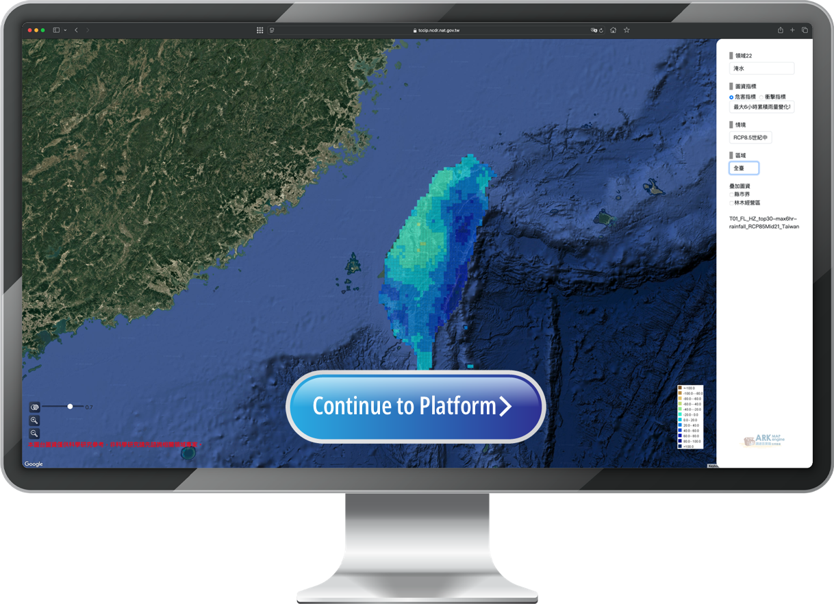
Typhoon and rainfall events
| Climate Scenarios | Historical baseline, GWL 2°C, GWL 4°C |
| Hazard Indicators | Total rainfall and maximum 24-, 12-, 6-hour relative rainfall change rates under GWL1°C |
| Impact Indicators | Probability distribution of flooding events with water depth of 0.3 m or more |
| Data Type | AR5 dynamical downscaling - rainfall data for typhoon events |
| Spatial Resolution | 40mx40m |
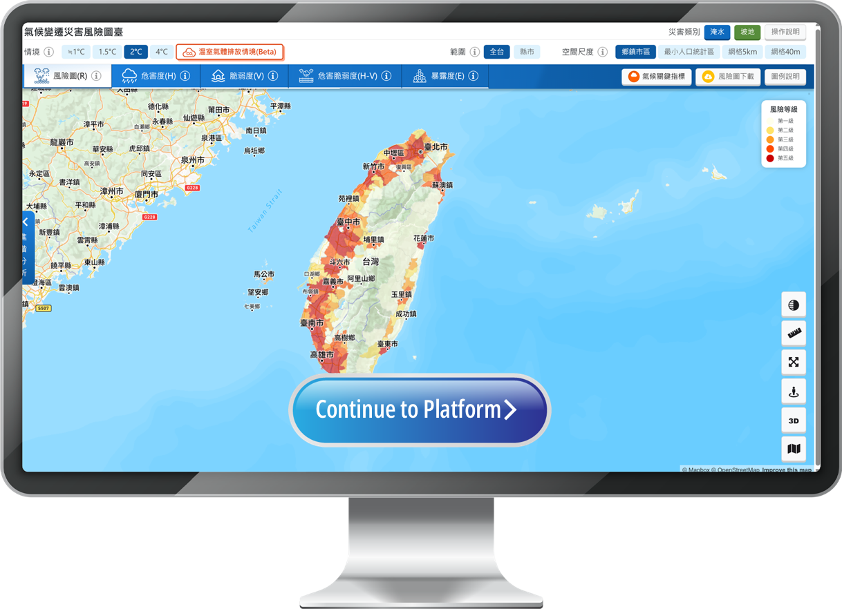
General rainfall events
| Climate Scenarios | SSP 1-2.6、SSP 2-4.5、SSP 3-7.0、SSP 5-8.5、≒GWL 1°C、GWL 1.5°C、GWL 2°C、GWL4 °C |
| Hazard Indicators | Rainfall probability |
| Impact Indicators | Risk map (R), hazard (H), vulnerability (V), exposure (E), hazard-vulnerability (H-V), and other indicators |
| Data Type | AR6 statistical downscaling |
| Spatial Resolution | All of Taiwan (5 km/40 m grid), township/city/district, smallest population statistical units |