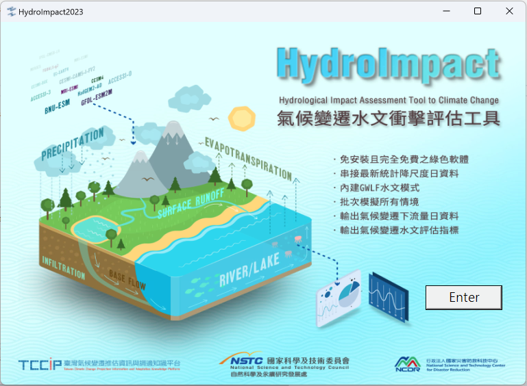
HydroImpact
Hydrological impact assessment model-HydroImpact is a hydrological impact assessment model under climate change. Key features includ
- Conduct catchment flow simulation with dozens of catchment GWLF parameters related to Taiwan’s water resources.
- Can read and embed statistical downscaled daily data and station correction data of more than 100 stations across Taiwan (RCP4.5, 29 GCMs in total; RCP8.5, 33 GCMs in total)
- You can add GWLF parameter data and climate change daily data in the simulated catchment area by yourself
- Can be updated in conjunction with IPCC’s subsequent additional situational data(CMIP6、CMIP7….)
The main purpose of HydroImpact is to simulate and calculate a large number of hydrological simulations and outputs under climate change scenarios, including 29 RCP4.5 GCMs and 32 RCP8.5 GCMs statistical downscaled station bias correction daily data, using GWLF (General Watershed Loading Function) (Hath et al., 1992) hydrological model is simulated. In addition to the basic simulation results such as daily data such as flow and evapotranspiration, the output part also outputs the long-term groundwater subsidy amount and changes in the catchment area, and also outputs the local The hazard indicators and impact indicators set in the plan are used to facilitate water resource impact simulation and subsequent value-added applications.
If you want to use it, please contact this project.